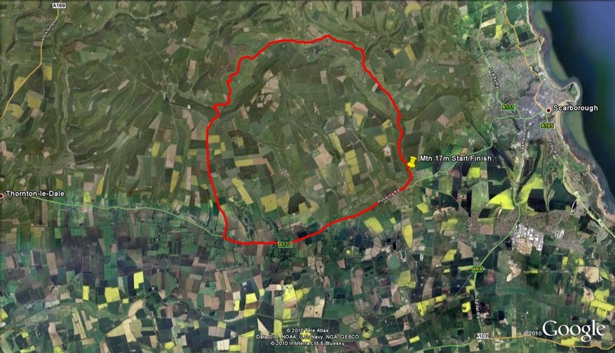
V463 Mountain 17 miles - Forge Valley
START on unclassified road named Castlegate, East Ayton, southern end of Forge Valley, at stone National Park boundary sign, approx 0.45 miles north of East Ayton. Proceed northwards towards Hackness where left at T junction to Troutsdale lane end. Left through Troutsdale valley to Snainton, Nettledale lane. Extreme care when descending to T junction with main A170 at Snainton where left along A170 to East Ayton and left into Castlegate to retrace to start point in Forge Valley – FINISH
Meeting Point -In Forge Valley 'Old Mans Mouth' car park towards Hackness end.
COURSE RECORDS
SENIOR MEN - 43:26 - James Gullen
SENIOR MEN - 43:26 - James Gullen

